
Last year I reflected on the spiritual quality of mountains and their possible influence on Saint Benedict:
I love mountains. I was born in the foothills of the Austrian Alps, and grew up in the shadow of the Rocky Mountains. Mountains have an uplifting quality about them. Strange as it sounds, I want to say they are necessary for the soul to breathe: they allow the psyche to expand. Perhaps this is not surprising given the body-soul composite which is man. Perhaps Saint Benedict’s gentle and large-souled spirit was partly due to his youth in the hill country of Italy.
All throughout the psalms, David and the other inspired authors speak of mountains as places of encounter with God and wonder at his majesty. Sometimes they represent the ultimate reach of his power: “For in his hand are all the ends of the earth, and the heights of the mountains are his” (Ps. 94:4), while at other times they are seen as the dwelling place of God: “I have lifted up my eyes to the mountains, from whence help shall come to me” (Ps. 120:1). Throughout the entire Old and New Testaments, God speaks to men on mountains. There’s just something different about them: they are a liminal place, standing between the inhabited plains and the heavens that are off-limits to man. They are a place man can go, yet they remain dangerous, unconquerable, and mysterious.
And so, I’m glad they feature prominently in the place I call home! In the distance of any Wyoming prairie, you can usually see the mountains. The eastern half of Wyoming is mostly shortgrass prairie, while the western half is home to several branches of the Rocky Mountains. In my last post, I spoke of growing up in Wyoming, and of the sweet prairies. Today we head into the mountains.
Living in the Asin-wati
The Rocky Mountains are the largest range in North America. They stretch from the deep northwest of Canada to the top of New Mexico in the southwestern United States. Their name is a literal translation of the Cree “asin-wati” (ᐊᓯᐣᐘᑎ). Cree is a dialect group of the Algonquian languages belonging to various indigenous peoples of the Great Lakes and what is today the northwest territories of Canada.
Although the mountains are stark and remote, they were once more inhabited than they are today. Indigenous settlements dating from as long as 10,000 years ago, uncovered in various parts of Wyoming, have revealed traces of ancient high-mountain dwellers. Their diet of roots, edible leaves, berries, and pine nuts, together with game such as big horn sheep, deer, and elk, would have lured them into the mountains during the summers. Fish and other small animals were certainly harvested. Some of these people were likely Shoshone Indians, and these mountain dwellers became known in more recent times as Sheepeaters. Numerous individual artifacts have been found, including sites with dozens of depressions for huts of some sort, and hunting blinds and various animal drive traps. These latter are some variation on the idea that you construct some sort of wide funnel, spook animals into it, and drive them down it until it’s too narrow for them to escape. These people made bows from the horns of Big Horn sheep; with a pull strength of 70 pounds, these are some of the most powerful weapons of American indigenous peoples.
Today, no one lives in the mountains—at least not in settlements. The highest town in Wyoming, Encampment, with a population of under 500, comes in at 7,277 feet, while the much larger Laramie, at 7,165, is a close second. However, there are some ranches near 10,000 feet. And I’m sure there are some loners living off the grid in the mountains, too.
Every year, however, many men and women visit the mountains. In this piece, I will share with you a little of their wild beauty, the wildlife that can be seen there, and the breathtaking views.

An Expedition in the Tetons
The deepest I’ve ever ventured into the mountains was actually about as deep as you can go. In 2017, as a freshman at Wyoming Catholic College, I participated in the 21-day backpacking trip all WCC students go on as part of their “freshman orientation” and digital detox.
My friend Anthony Jones is an excellent photographer. We were freshman together in 2017, and although in different groups, covered essentially the same route through the Teton Mountains for the three-week period. He took much better photos in his group, and kindly allowed me to use some of them here.
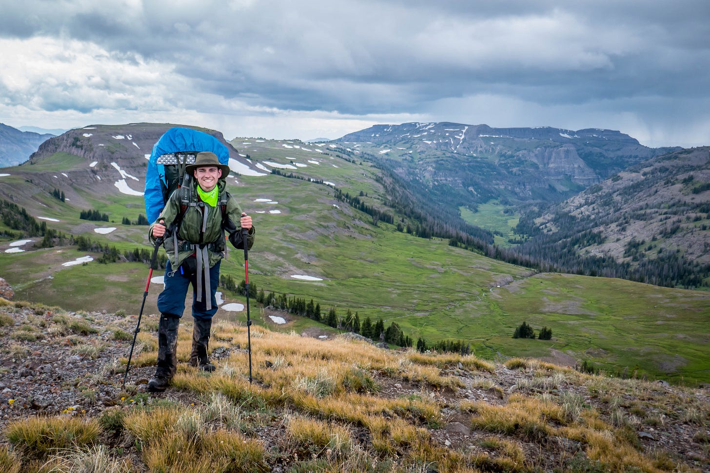
The three men’s groups, each numbering about a dozen people, followed a route through the Teton Wilderness. The ladies’ groups went to the Wind River Range. In the course of our three-week trek, we usually hiked and camped at over 9,000 feet above sea level, sometimes as high as 11,000 feet, and crossing passes that were even higher. We carried all our equipment on our backs and enough food for a week. There were two “re-rations,” where horse-packers brought in new supplies, and we replenished ourselves for the week to come. Once, another group got all our bacon by mistake — and a vigorous hike after them was required to recover it!
At one point we passed through what has been called “the most remote place” in the lower 48, the furthest point from any easy access. This is how I’ve described it before:
I was standing beneath a blue sky in a mountain wilderness, a fifty pound pack on my back, worn boots on my feet. So this was the officially most remote place in the lower 48 states? Over 30 miles as the crow flies to the nearest two-track dirt road? It did not really matter to me. I and the rest of my group would hike, sweat, set up camp, eat, and sleep just like we had been for the past week and a half.
“Hike, sweat, set up camp, eat, and sleep” is right. We usually did five to eight miles a day. Our days might sound light on the mileage to those used to walking on cultivated roads or trails, but we sometimes had to “offroad,” or hike through completely wild land — an acre of fallen trees, a scree field, a stream crossing, or boulders could slow down the progress. Oh, and as I mentioned, our packs weighed 30 to 50 pounds, depending on how much food we had and what shared gear we were carrying.


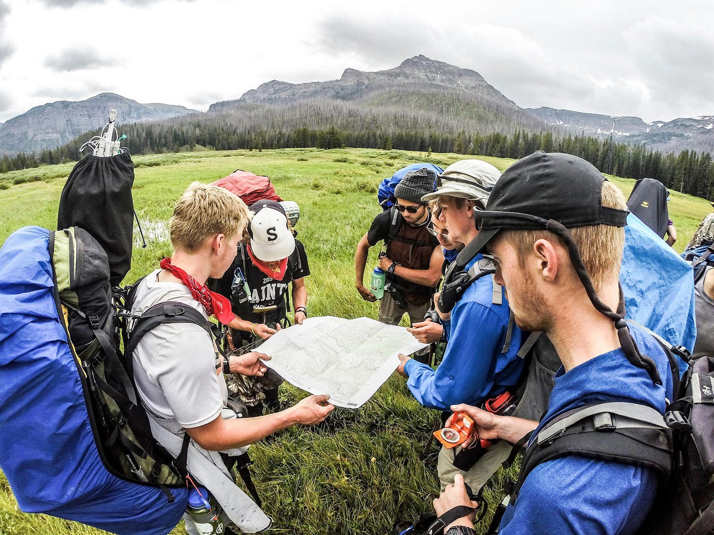
We had three experienced instructors, all alumni or upperclassmen from Wyoming Catholic who had done similar trips before and received extra training to lead the expedition. As we learned more skills—especially how to use a map and compass, and what sort of sites made good campgrounds—each of the students in turn would be assigned as “Leaders of the Day” or LODs.
One day I and another guy were LODs. We had split the group in half, and were each leading six guys along the same route, but spaced about half an hour apart. This gave us the opportunity to be the sole leader of our mini-bands. My fellow leader was a competitive chap, and got to lead the first group. Tough luck for him when I accidentally outstripped him during their group’s lunch break.
About mid-afternoon we both got lost at the same spot. The trails were splitting confusingly, and we weren’t sure if they matched the map, which can sometimes happen—our maps are based on data primarily from the 1950s, since geological features don’t change much. But little trails come and go.
We both took wrong turns, quickly figured that out, and headed back to the spot where we last felt sure of our location. We started going in circles around this one little lake that we were trying to make fit with the one on our map that we wanted it to match. When you see a feature like this and really want it to be something on your map, you can kind-of convince yourself that a lot of things really are the right shape to put you right there—where you want to be.
Seeing that we were both lost, I approached my fellow LOD and we somewhat frustratedly agreed that we should reunite our groups and the two of us pool our navigational skills to get the group to camp in good time.
We then tried to triangulate our position. This involves finding three visible high points, such as mountain tops, and, making use of their location in regard to compass readings, deducing your location on the map with a little bit of geometry. This we did. But since we had only just learned the procedure, we mistakenly added the North Pole deviant twice instead of once.
This resulted in us knowing we must be somewhere along a line, but unsure of where on the line. In the course of this whole procedure, I had a bloody nose, and for a moment the Instructors — who, with a Stoic calm, won’t correct any of your mistakes unless it takes you more than five miles off course — thought that my fellow LOD had punched me in the face!
A tough decision faced us: should we do more hiking, trying to find the trails we couldn’t find, or should we offroad up the side of the valley we were in and see if we got to the spot we should be? The worst-case scenario, we had determined from our partially successful triangulation, was that we’d be off-course but able to tell where we were; the best-case scenario, we’d be right above the valley with our assigned campsite.
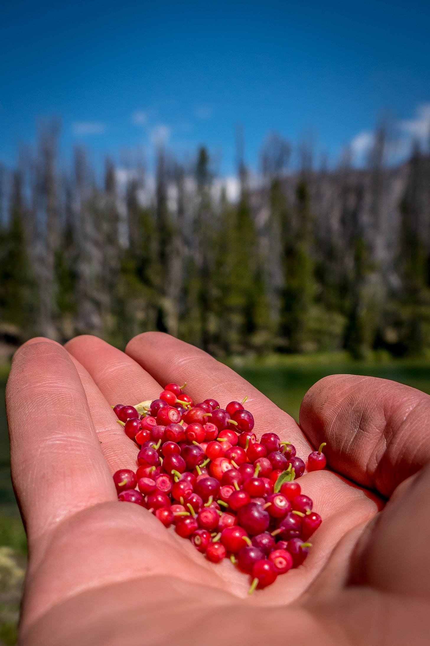
We chose to risk it, and up the side of the valley we went. The undergrowth was thick, there were trees, and the ground was at a 30- or 40-degree angle sometimes. With moss, pine needles, and rotten logs, climbing the steepness was quite difficult. As another guy quipped, “You know there’s something wrong when you have whortleberries above your head.” Whortleberries are a small, sweet, edible berry that grows close to the ground—at most maybe ten or twelve inches tall. Having them above us tells you what sort of incline we were ascending!
Because the undergrowth was thick and the terrain dangerous, and we were spread out, we had to do roll-call every few minutes. We each had a number, and when we called “One!” everyone else would count off in order, up to twelve. This way we could make sure nobody was separated from the group, or fell and went unconscious without us noticing.
Happily, shortly after we reached the top of the very high ridge, we discovered that our semi-informed guesswork had worked out: our campsite was just below us, in the valley on the other side of the mountain spur we had climbed.
If you die, at least there are flowers


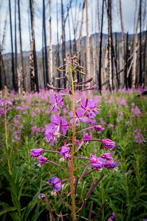


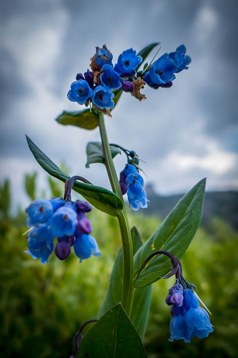
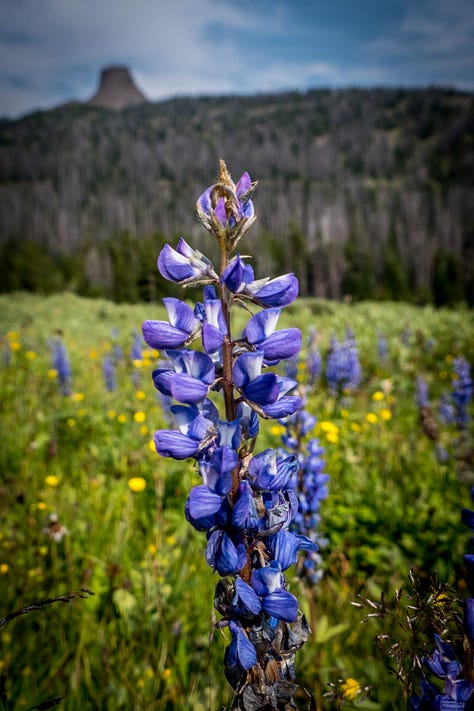


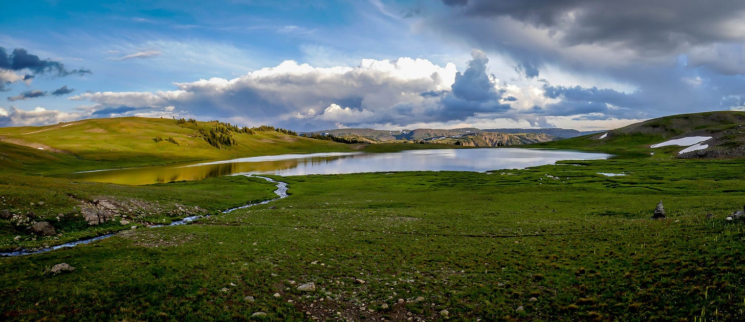
I remember one occasion when we summited a pass. Little streams parceled off the soft grass and moss, while great slabs of stone rose above the tree-lines in the background, or slopes gave way to vistas stretching for miles and miles to other arms of mountains or plains below. When we reached the top, we found ourselves looking across intertwining spurs of the Teton Mountains — and a hundred miles away, the Grand Teton itself, piercing the horizon in all its 13,775-feet glory.


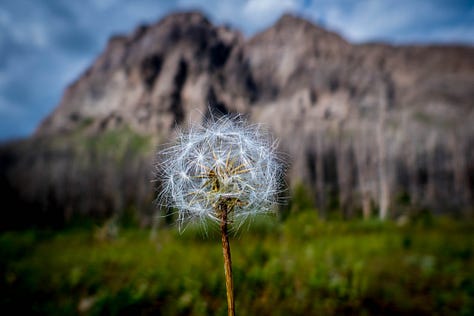
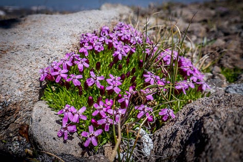


Alpine meadows trap moisture, and their constantly cool temperatures allow for a very different climate than that of the prairies. Until you come across an alpine meadow at 10,000 feet, you’ll think fields of flowers don’t exist except in story books. Let me assure you that that is not the case.
High in the mountain lakes live various types of fish: Cutthroat trout, Rainbow trout, Brook trout, and mountain whitefish. These latter are a “bottom feeder,” similar to carp and catfish in that they forage in the mud, looking for debris there, unlike the trout which mostly eat food particles or minnows out of the water or rise to the surface to snap up bugs on the surface. The structure of their mouths reflects their food source: trout mouths angle and open upwards to snatch minnows or flies, and are full of very small teeth; the whitefish mouth is toothless, a vacuum like sucker-orifice angled towards the lake bed.
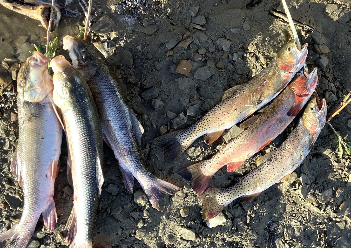
According to the scientists, about thirty species of fish live in the Tetons. You don’t often see (I least I haven’t) much else besides varieties of trout and whitefish.
But not all the wildlife is as harmless as these cute fishies. Grizzly and black bears inhabit the Tetons, including in the Absarokas, which have one of the highest concentrations of bears outside of Alaska. We always carried bear spray, and arranged our camp so that the cooking area and food storage areas were a good distance from our tents. Food was also put inside a portable electric fence—a bear fence! Bears nosing around the smells that linger even when we seal up the f ood in bags will touch the fence with their noses. Standing in wet grass, with all four paws on the ground, these critters are well grounded and get a nasty shock. One sometimes finds bear scat right next to the fence, where the hapless mammal literally had the s**t shocked out of him during the night.
We didn’t see any bears (the group ahead of us did, probably scaring them away for the rest of us). Fresh bear tracks and scatt were visible on a regular basis, and in one spot we saw large fresh cougar tracks in the mud near a stream. Like bears, cougars don’t prey on humans (especially adult humans)—but on the rare occasions when they do, results can be fatal.
Besides bears, the other primary danger is climate. During the night, temperatures can drop below freezing any day of the year. The summer starts late in the mountains: the warm season is July or August through October (at best), before the winter closes in again, replenishing the snow pack for next year’s melt — and promising verdant spring grazing for the cattle below.
The mountains are nearly impassable in the winter: high winds, negative temperatures, and snowfall over six feet make for arctic environments. Indeed, much of the Rockies are classified as “tundra”-type ecologies.
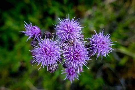
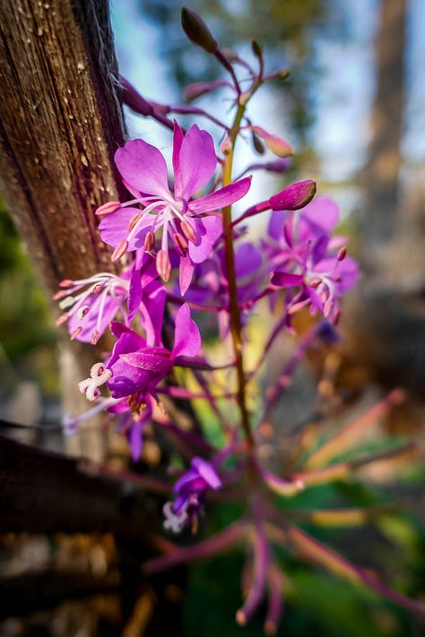
The flora and fauna of the Rocky Mountains are extensive: despite being situated in arid prairies, and despite being named rocky, the Rockies cloak hidden verdure.


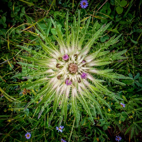
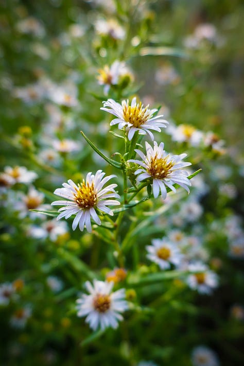


Even in the summer it can be rainy and miserable; thankfully, there were few rainy days on my expedition.
Adventure Items
With long grueling days, it’s important to keep spirits up and calories flooding in. Our food was… okay. In the ’70s, the big thing was freeze-dried outdoor food. That craze has worn off a bit, but milk powder, lemonade powder, and suchlike just isn’t that yummy. One of the best outdoor foods is cheesy bagels: fry the bagels in bacon grease, and then melt cheese over them. We usually got peppers and onions at re-ration but these fresh vegetables were used up in the course of just one or two meals. The few apples and oranges were similarly devoured, leaving us to fall back on cooking brownie mix in a frying pan over a little gas stove. It usually turned out as a slab of rock-hard batter, or a lake of incredibly sticky goo.
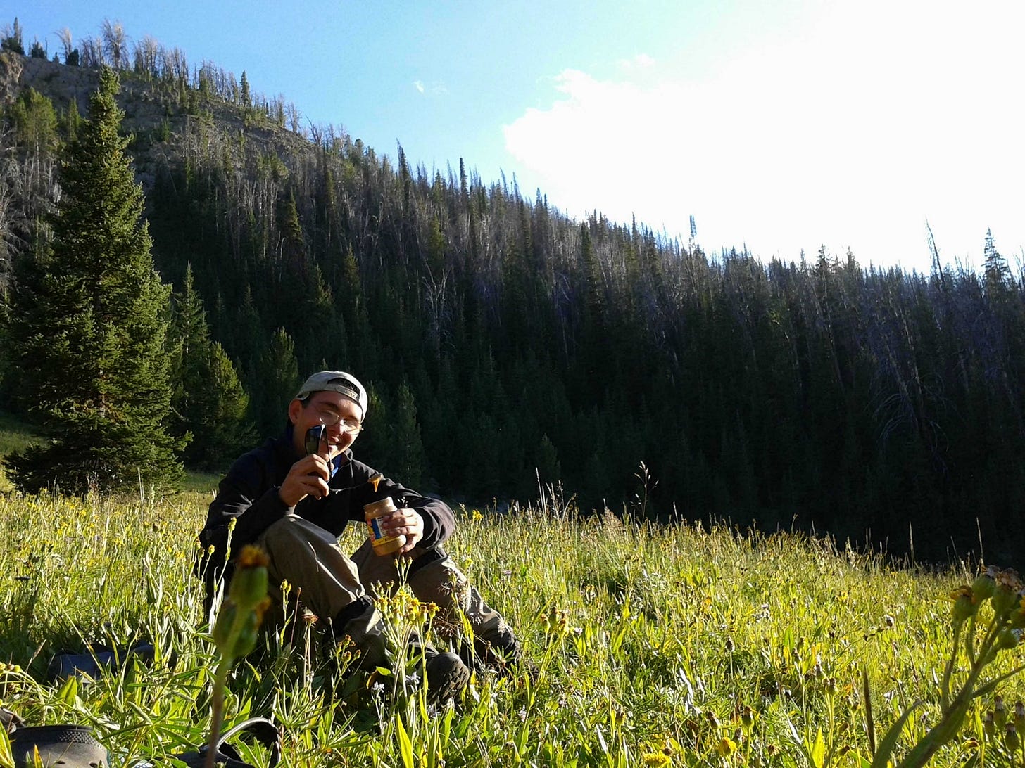
We made trail-mix by mixing any nuts and candy we had, and this was called “gorp,” standing for “granola, oats, raisins, and peanuts.” It usually also had M&Ms in it. Various types of peanut butter were also a staple, including SunButter, made from sunflower seeds. The photo above shows me eating SunButter with the wide ear-piece of my sunglasses serving as a spoon. At such high altitudes and with such strenuous exertion, our caloric intake was easily 5,000-7,000 calories a day. We often ate hundreds of calories of nut butters in a single trail-side snack.
On the very last re-ration, we were surprised with ice-cream, steaks, marshmallows, and sweet potatoes as a celebratory meal for our last push during solo-week — the final week involving the now wilderness-savvy students traveling entirely on their own, while their leaders shadowed them a few miles away.

Besides food, though, another important morale-booster were “adventure items”: these were surprise silly objects, foods, or games. Our leaders packed a 10- or 15-pound inflatable eagle innertube into their already ponderous packs, and took us all by surprise one evening by inflating it behind a dip in the ground and suddenly lurching over the rocks making insane eagle squawks. Strobing red-white-and-blue headlamps adorned its neck.
The guys were so taken with the inflatable eagle that they decided to keep it as a mascot rather than have the re-ration horse-packers take out. Two of our strongest alternately carried it during our solo week, and on the last day we re-inflated it, put our head leader on top, and marched into the trailhead where the other men’s groups and busses waiting to take us back to Lander were gathered.
Since that 21-day trip, I’ve hiked and camped in the Wyoming mountains a fair amount, but not nearly enough: I want to conquer each range and get to know it better. Hopefully the Bighorn mountains, home to the bighorn sheep and a WWII bomber crash site, will be next…
Until then — happy mountaineering!
If you enjoy my work here on my dad’s Tradition and Sanity Substack, please consider giving me a small tip via my buymeacoffee.com page, where you can make a one-time or recurring donation to support my writing. Thank you!
P.S. Mountain Songs
There’s a playlist I’ve made that captures some of the thumos I associate with the mountains:
Interestingly enough, a lot of the songs deal with sailing and fishing on the ocean rather than mountaineering. I suppose there is something akin in the men who undertake both sorts of vast expanses.





Great narration of a great adventure. I wish someone would organize something like this for old men.
Not to digress too much, but I wonder if the "grandeur" of the "mountains" is what makes the "valleys" of Manhattan so appealing.
Hi, Julian, this is an amazing post.
Do you know any camping sites or something like that in Florida?